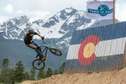
 Frisco Adventure Park
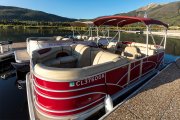 Frisco Bay Marina
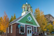 Frisco Historic Park & Museum
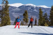 Frisco Nordic Center
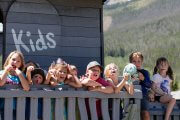 Frisco Youth Camps & Programs
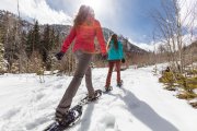 Activities
 Adventure Responsibly
 Dining
 Lodging
 Shopping
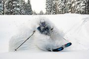 Ski Resorts Near Frisco
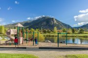 Parks
Parks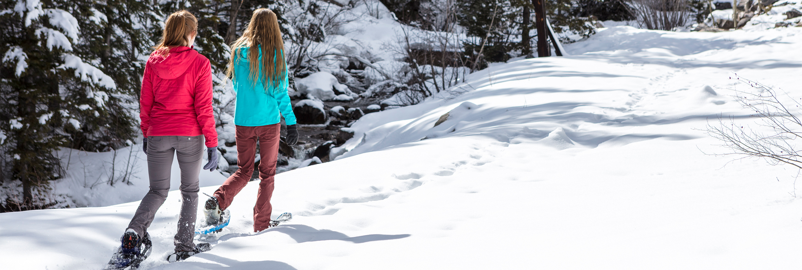
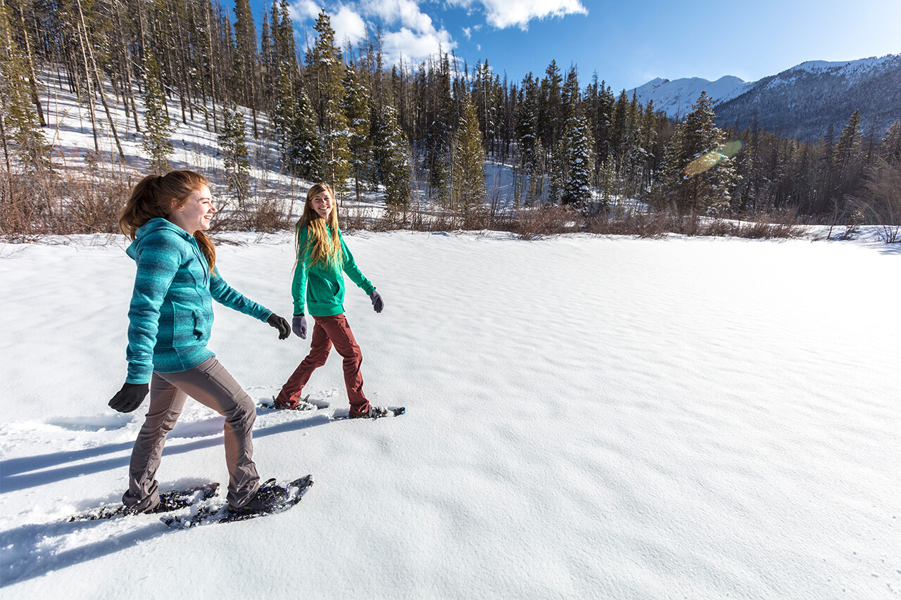
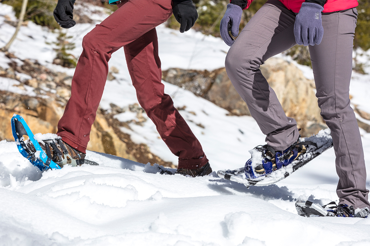
Snowshoeing in Frisco
Snowshoeing in and around Frisco
Snowshoeing is a great way to get some fresh mountain air and take in the scenery, and Frisco has miles of trails to explore, both at the Frisco Nordic Center, and footsteps from Town!
Free Snowshoe Trails on Public Land Around Frisco
Rainbow Lake
- USNFS Difficulty Rating: EASY
- Mileage: (From Second Avenue trailhead to Rainbow Lake) approximately .75 miles
- Out and back, or take Miners Creek Road back to Town
- Approximate elevation start: 9,097 feet | Approximate elevation end: 9,560 feet
Short and sweet, this locals’ favorite trail leads to the Peaks Trail, which goes all the way to Breckenridge if so motivated. Drive or walk to this trailhead: off of Main Street Frisco, turn south onto Second Avenue and follow this road to the trailhead. Cross over the paved recreation pathway after stopping at the stop sign (use caution and yield to users of the path) to get to the trailhead parking area. In the parking area you will see a sign with an arrow that says Rainbow Lake. Venture through a wetland on a boardwalk, through Aspen trees and lodgepole pines until you arrive at a beaver pond called Rainbow Lake. This trail also connects to Miners Creek Road or the Peaks trail that heads to Breckenridge if you’re looking to continue your hike.
Please note that if Zach’s Stop trailhead parking is full then please park at the parking lot at 3rd Avenue and Granite Street. Also, please consider walking from lodging, Summit Stage stops, or Main Street rather than driving your vehicle to the trailhead, as parking at Zach’s Stop often fills very early and parking is not available in the surrounding neighborhoods.
Peaks Trail
- USNFS Difficulty Rating: MODERATE to MORE DIFFICULT
- Mileage: 7.8 miles one-way
- Hike to our neighboring Town of Breckenridge and hop on the Summit Stage, or double back and end in Frisco.
- Approximate elevation start: 9,110 feet (Frisco) | Approximate elevation end: 10,075 feet (Breckenridge)
Follow directions to Rainbow Lake (above). Once Rainbow Lake is reached, continue following the trail past the lake and it will connect with a 4×4 road junction. This road is called Miners Creek. Cross the road and you will see the sign to continue onto the Peaks Trail and continue to parallel Miners Creek Road. After 3 miles, you will come to an intersection with the Gold Hill trail on your left. Do not take this turn in order to stay on the Peaks Trail. Continue on the Peaks Trail toward Breckenridge/Miners Creek Trail. At 3.3 miles you will come to another intersection with the Miners Creek Trail. Follow the sign for the Peaks Trail toward Breckenridge. At around 4.2 miles the trail opens up to a meadow, continue following the Peaks Trail. After 7.4 miles you will cross the Cucumber Creek 4×4 road. You are near the finish of the trail! Continue on the Peaks Trailhead Parking lot near the base of Peak 7 of Breckenridge Ski Resort. This is the end of the trail.
Lily Pad Lake (from Meadow Creek Trailhead)
- USNFS Difficulty Rating: MODERATE to MORE DIFFICULT
- Mileage: From Meadow Creek trailhead to Lily Pad Lake: 1.3 miles
- Out and back trail, or hike to Wildernest neighborhood via Lily Pad Lake trail and take Summit Stage bus back!
- Approximate elevation start: 9,157 feet | Approximate elevation end: 9,917 feet
At exit 203 (the CO-9 exit for Frisco/Breckenridge off of I-70), take the roundabout around, but do not enter I-70. Take the roundabout only to the dirt road that parallels I-70 Westbound. You will see a sign for the Meadow Creek Trailhead. Parking is available down the dirt road near the trailhead sign. This trail has switchbacks through Aspen tree stands. At .6 miles into the hike, you will see the trail split to Meadow Creek or to Lily Pad Lake. Take the path to Lily Pad Lake and go another .7 miles to the lake. For an easier way to access Lily Pad Lake, check out the Lily Pad Lake Dillon Ranger District trail sheet for Wildernest neighborhood access.
North Ten Mile
- USNFS Difficulty Rating: MODERATE to MORE DIFFICULT
- Mileage: 2 miles to Wilderness Boundary, 3.4 miles to Gore Trail intersection
- Close backcountry access at the end of Frisco’s Main Street, great hike for dogs because of ample water access.
- Approximate elevation start: 9,160 feet | Approximate elevation end: 10,826 feet
At exit 201 (the Frisco Main Street exit off of I-70), there is a National Forest trailhead for North Ten Mile Canyon along with a small public parking area for the trailhead. You could also easily walk to this trailhead down Main Street from Downtown Frisco (towards I-70, away from Lake Dillon Reservoir). This trail is a locals’ favorite because of its accessibility and closeness to Ten Mile Creek. If coming off of I-70 to hike this trail, turn away from the Town of Frisco when you exit, and park just north of the interstate exit. Don’t let the initial steep grade discourage you from continuing on this trail. After the first mile, the trail levels out. At the beginning of the trail you will see Chief Mountain, elevation 11,363 feet, to the right. On the left flank is Wichita Mountain, elevation 10,855 feet. Along this trail there are multiple opportunities to view beaver ponds along the creek. After 2 miles on the trail, there will be a boundary fence with a sign saying you are entering the Eagles Nest Wilderness Area. Please keep in mind that designated Wilderness Areas of the National Forest require that pets be on leash at all times, and that all recreation in these areas is non-motorized. After hiking an additional 1.4 miles you will come to the intersection of the Gore Range Trail. Turning to the right (North) will eventually take you into the Meadow Creek drainage and turning left (South) will eventually take you up and over Uneva Pass to I-70 at exit #195 for CO-91 / Copper Mountain Resort.
Miners Creek Road
- USNFS Difficulty Rating: MODERATE to MORE DIFFICULT
- Mileage: 2.5 miles one-way
- This road helps people access to many other trails: Wheeler National Recreation Trail, Peaks and Gold Hill.
- Approximate elevation start: 9,132 feet | Approximate elevation end: 9,965 feet
Trailhead parking is located at 0558 County Road 1000 in Frisco. From Main Street Frisco, turn right at the traffic light at the intersection of CO-9 (a.k.a. Summit Boulevard here in Frisco). After heading South on CO-9, at the first traffic light (County Road 1004), turn right. This is the same entrance for the Summit County Commons government complex. Follow this road for approximately 100 yards and turn right, then turn immediately left. Be sure to yield to users of the paved Recreation Pathway. Continue on this road for another 0.3 miles to the parking area at a gate. This is the parking area for winter recreation access, and where to park if you’d like to hike the road. During the summer, you can continue further up the road and get close to Rainbow Lake. At the end of Miners Creek Road, there is a trailhead for Miners Creek Trail. Driving is not permitted on Miners Creek Trail.
Snowshoeing at the Frisco Nordic Center
When you visit the Frisco Nordic Center, you will be surrounded by snowy peaks in every direction and the quiet of the trail. The Frisco Nordic Center offers 10 km of beautiful snowshoe trails and snowshoe rentals seven days a week. The Frisco Nordic Center is just steps from the Frisco Adventure Parks’ tubing hill and beginner ski/ride hill.
Frisco Nordic Center
Physical Address
616 Recreation Way
Frisco, CO 80443
Hours
Frisco Nordic Center is open daily from 9:00am-4:00pm
Closing Day is Sunday, April 7, 2024
Website
Mailing Address
PO Box 4100
Frisco, CO 80443