 Frisco Adventure Park
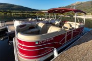 Frisco Bay Marina
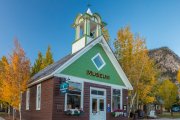 Frisco Historic Park & Museum
 Frisco Nordic Center
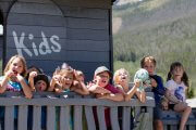 Frisco Youth Camps & Programs
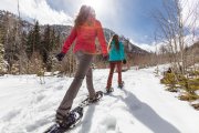 Activities
 Adventure Responsibly
 Dining
 Lodging
 Shopping
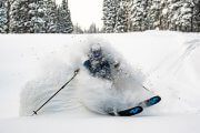 Ski Resorts Near Frisco
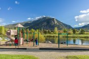 Parks
Parks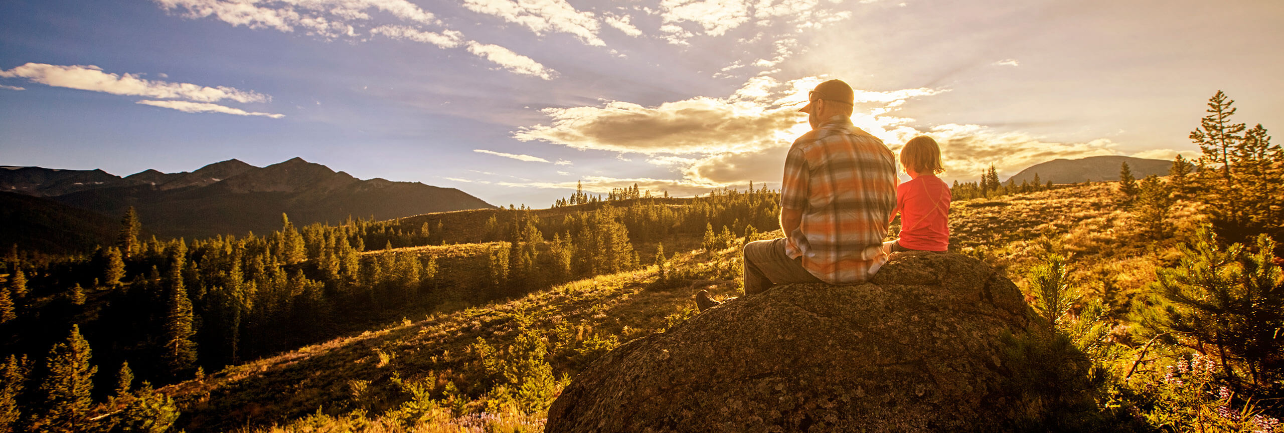
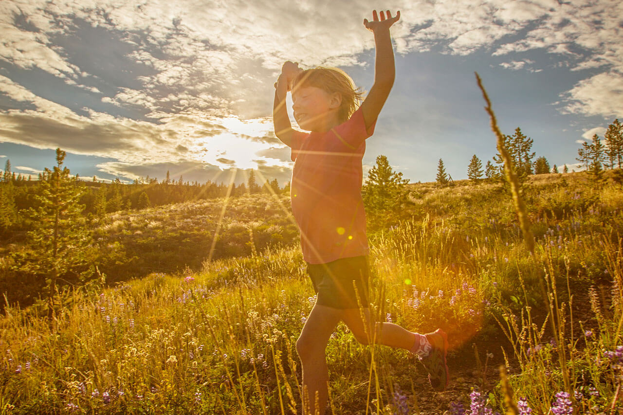
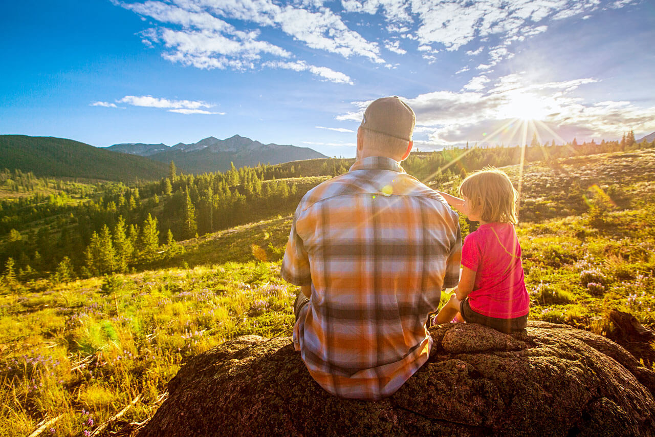
Best Hikes for Kids
Rainbow Lake
- USNFS Difficulty Rating: Easy
- Mileage: (From Second Avenue trailhead to Rainbow Lake) approximately .75 miles
- Out and back, or take Miners Creek Road back to Town
- Approximate elevation start: 9,097 feet
- Approximate elevation end: 9,560 feet
Short and sweet, this locals’ favorite trail ventures through wetlands on a boardwalk, through Aspen trees and lodgepole pines until it arrives at a beaver pond called Rainbow Lake. This trail also connects to Miners Creek Road or the Peaks trail, which goes all the way to Breckenridge, if you want to keep hiking.
Drive or walk to this trailhead: From Main Street Frisco, turn south onto Second Avenue and follow this road about 5 blocks then take a right on South Cabin Green. Cross over the paved recreation pathway after stopping at the stop sign (use caution and yield to users of the path) to get to the trailhead parking area. In the parking area you will see a sign with an arrow that says Rainbow Lake.
Peninsula Trail System
- USNFS Difficulty Rating: Easy to moderate
- Mileage: Varies based on the loop
- Approximate elevation start: 9,000 feet
- Approximate elevation end: 9,320 feet
The Frisco Peninsula trails pass through stands of lodgepole pine and offer wonderful views of Lake Dillon and the Ten Mile Range. These trails are relatively short with many good places to stop for a picnic. See the complete trail system map.
Sapphire Point
- USNFS Difficulty Rating: Easy
- Mileage: 0.7 miles one-way around loop
- Approximate elevation start: 9,512 feet
- Approximate elevation end: 9,503 feet
This trail is great for kid of all ages and for people who just want to see some spectacular views of Dillon Reservoir, Tenmile Range and Gore Range. There are a few picnic tables along the trail for you to enjoy. The overlook and picnic area are popular spots for weddings and other ceremonies, if you see a ceremony taking place, please be respectful of the participants. For map and directions visit here.
Old Dillon Reservoir Trail System
- USNFS Difficulty Rating: Easy to moderate
- Mileage: Varies based on the loop
- Approximate elevation start: 9,066 feet
- Approximate elevation end: 9,203 feet
The Old Dillon Reservoir was built in the 1930’s to supply water to the original town of Dillon, which is now covered by the new Dillon Reservoir. A diversion ditch from Salt Lick Creek, north of I-70 supplied water to this reservoir. The Old Dillon Reservoir offers great fishing, especially in the summer, and great views of the Tenmile Range, Bald Mountain, and Mt. Guyot.